
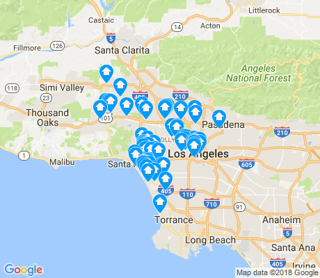


Search for apartments in Los Angeles or check out apartments in other Los Angeles neighborhoods. Links will open on our partner site Redfin.com.
- Brentwood, Los Angeles apartments for rent
- Chatsworth, Los Angeles apartments for rent
- Eagle Rock, Los Angeles apartments for rent
- Encino, Los Angeles apartments for rent
- Granada Hills, Los Angeles apartments for rent
- Highland Park, Los Angeles apartments for rent
- Hollywood Hills, Los Angeles apartments for rent
- Los Feliz, Los Angeles apartments for rent
- North Hollywood, Los Angeles apartments for rent
- Northridge, Los Angeles apartments for rent
- Pacific Palisades, Los Angeles apartments for rent
- Porter Ranch, Los Angeles apartments for rent
- Sherman Oaks, Los Angeles apartments for rent
- Silver Lake, Los Angeles apartments for rent
- Studio City, Los Angeles apartments for rent
- Sunland-Tujunga, Los Angeles apartments for rent
- Tarzana, Los Angeles apartments for rent
- Venice, Los Angeles apartments for rent
- West Hills, Los Angeles apartments for rent
- Woodland Hills, Los Angeles apartments for rent


 The beach cruiser is the official bike of Venice.


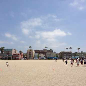
 Always an interesting mix of fitness and partying on Venice Beach.


 The Venice Boardwalk is a 24 hour circus.


Diana
on Glen Alla Park