
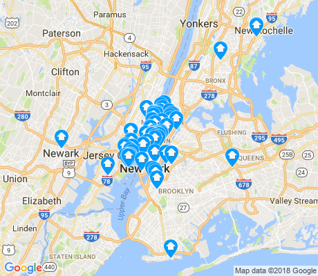


Search for apartments in New York or check out apartments in other New York neighborhoods. Links will open on our partner site Redfin.com.
- Astoria, New York apartments for rent
- Bayside, New York apartments for rent
- Brooklyn, New York apartments for rent
- Flushing, New York apartments for rent
- Forest Hills, New York apartments for rent
- Jamaica, New York apartments for rent
- Little Neck, New York apartments for rent
- Long Island City, New York apartments for rent
- Maplewood, New York apartments for rent
- Park Slope, New York apartments for rent
- Queens, New York apartments for rent
- Queens Village, New York apartments for rent
- Rego Park, New York apartments for rent
- Riverdale, New York apartments for rent
- Staten Island, New York apartments for rent
- Upper East Side, New York apartments for rent
- Upper West Side, New York apartments for rent
- West Village, New York apartments for rent
- Whitestone, New York apartments for rent
- Williamsburg, New York apartments for rent


 Street performers can usually be seen in front of Christopher Park. Today, electric guitar and violin performance by the Troublenotes.


 Do you like long walks by the water? Picnicking in summertime and sledding in the winter? We have the perfect match for you! No, this isn't a personal ad; it's Owl's Head Park. The spacious property in #BayRidge Brooklyn contains rolling hills, peaceful, meandering pathways, and breathtaking views of the New York skyline and striking Verrazano Narrows Bridge.

 Admire the views of the Statue of Liberty and New York Harbor from Robert F. Wagner Park, one of the many parks in Battery Park City. Visit the Museum of Jewish Heritage, or just enjoy the grass and gardens.


Kathleen Patricia Odenthal
on Olde Brooklyn