


Search for apartments in San Antonio or check out apartments in other San Antonio neighborhoods. Links will open on our partner site Redfin.com.
- Alamo Heights Gardens, San Antonio apartments for rent
- Alamo Ranch, San Antonio apartments for rent
- Alta Vista, San Antonio apartments for rent
- Beacon Hill, San Antonio apartments for rent
- Denver Heights, San Antonio apartments for rent
- Dignowity Hill, San Antonio apartments for rent
- Downtown San Antonio, San Antonio apartments for rent
- Fort Sam Houston, San Antonio apartments for rent
- Hill Country, San Antonio apartments for rent
- Houston, San Antonio apartments for rent
- King William, San Antonio apartments for rent
- Lavaca, San Antonio apartments for rent
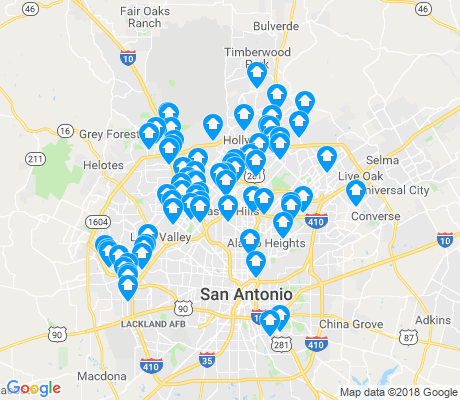
- Monte Vista, San Antonio apartments for rent
- North San Antonio, San Antonio apartments for rent
- Northeast San Antonio, San Antonio apartments for rent
- Stone Oak, San Antonio apartments for rent
- Terrell Heights, San Antonio apartments for rent
- The Dominion, San Antonio apartments for rent
- Tobin Hill, San Antonio apartments for rent
- West San Antonio, San Antonio apartments for rent


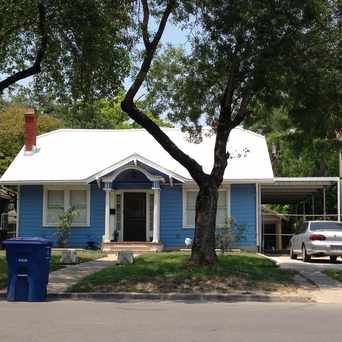
 A typical street in Monte Vista.


 Monte Vista is a designated Historical District and is defined by special street signs.


Patti Evans Beasley
on SAN PEDRO & LYNWOOD