
675 West Lancaster Boulevard
Lancaster, California, 93534
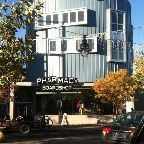
Commute to Downtown Lancaster
Daily errands do not require a car.
Biking is convenient for most trips.

675 West Lancaster Boulevard has a Walk Score of 90 out of 100. This location is a Walker’s Paradise so daily errands do not require a car.
675 West Lancaster Boulevard is a nine minute walk from the Metrolink Antelope Valley Line at the Lancaster Metrolink Station stop.
This location is in Lancaster. Nearby parks include Jane Reynolds Park, Mays Field and Antelope Valley Fairgrounds.
Explore how far you can travel by car, bus, bike and foot from 675 West Lancaster Boulevard.
Rail lines:
Metrolink Antelope Valley Line
0.3 mi
Bus lines:
395 Route South
0.3 mi
100 Bakersfield - Lancaster
0.3 mi
250 California City - Lancaster
0.3 mi
This location is in the city of Lancaster, CA. Lancaster has an average Walk Score of 29 and has 156,633 residents.

Sassy Couture
Western Hotel
Bandstand
If you are using a screen reader or having trouble reading this website, please call Walk Score customer service at (253) 256-1634.
© 2026 Walk Score


Susan Fisher