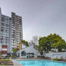
Skyline Boulevard
Commute to Downtown Oakland
Almost all errands require a car.
A few nearby public transportation options.
Very steep hills, minimal bike lanes.
About your score
Skyline Boulevard has a Walk Score of 15 out of 100. This location is a Car-Dependent neighborhood so almost all errands require a car.
This location is in the Skyline-Hillcrest Estates neighborhood in Oakland. Nearby parks include Pinto Ranch Recreation Area, Leona Heights Park and Redwood Regional Park.
Explore how far you can travel by car, bus, bike and foot from Skyline Boulevard.
Skyline Boulevard has some transit which means a few nearby public transportation options. Car sharing is available from RelayRides.
Bus lines:
39 Fruitvale Bart - Skyline High School
0.1 mi
54 Fruitvale BART - Merritt College
0.5 mi
339 Fruitvale Bart - Chabot Observatory
0.8 mi
Car shares:
Skyline Boulevard is in the Skyline-Hillcrest Estates neighborhood. Skyline-Hillcrest Estates is the 117th most walkable neighborhood in Oakland with a neighborhood Walk Score of 3.
Moving to Oakland from another city? View our moving to Oakland guide.


If you are using a screen reader or having trouble reading this website, please call Walk Score customer service at (253) 256-1634.
© 2024 Walk Score