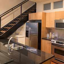
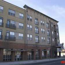
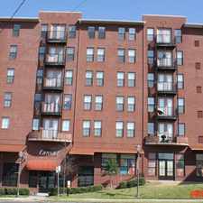
100 Moreland Avenue Southeast
Reynoldstown, Atlanta, 30316
Commute to Downtown Decatur
Most errands can be accomplished on foot.
Many nearby public transportation options.
Mostly flat, minimal bike lanes.
About your score
100 Moreland Avenue Southeast has a Walk Score of 77 out of 100. This location is Very Walkable so most errands can be accomplished on foot.
100 Moreland Avenue Southeast is a one minute walk from the BLUE BLUE-East/West Line and the GREEN GREEN-Proctor Creek Line at the INMAN PARK-REYNOLDSTOWN STATION stop.
This location is in the Reynoldstown neighborhood in Atlanta. Nearby parks include Lang-Carson Park, BeltLine Eastside Trail and Gateway Park.
Explore how far you can travel by car, bus, bike and foot from 100 Moreland Avenue Southeast.
100 Moreland Avenue Southeast has good transit which means many nearby public transportation options. Car sharing is available from RelayRides and Zipcar.
Rail lines:
GREEN GREEN-Proctor Creek Line
0.1 mi
BLUE BLUE-East/West Line
0.1 mi
Bus lines:
4 Thomasville/Moreland Avenue
0.1 mi
6 Emory
0.1 mi
9 Toney Valley /Peachcrest Rd.
0.1 mi
107 Glenwood Road
0.1 mi
102 Moreland/Candler Park
0.5 mi
21 Memorial Drive
1.4 mi
99 Boulevard/Monroe Drive
1.4 mi
Car shares:
100 Moreland Avenue Southeast compared to all of Atlanta.
Lower crime area.
Lower crime area.
How do you feel walking near 100 Moreland Avenue Southeast?
Day:
Night:
Thanks for your feedback!
100 Moreland Avenue Southeast is in the Reynoldstown neighborhood. Reynoldstown is the 26th most walkable neighborhood in Atlanta with a neighborhood Walk Score of 69.
Moving to Atlanta from another city? View our moving to Atlanta guide.

ParkGrounds
Reynoldstown Memorial Garden
Lang-Carson Park


If you are using a screen reader or having trouble reading this website, please call Walk Score customer service at (253) 256-1634.
© 2024 Walk Score