Most errands require a car.
A few nearby public transportation options.
Score Details
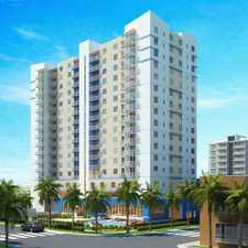
This location has a Walk Score of 49 out of 100. This location is a Car-Dependent neighborhood so most errands require a car.
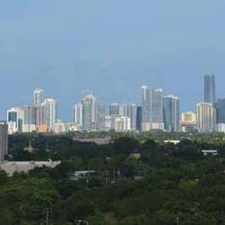
This location is in Miami Beach. Nearby parks include Bench In Biscayne Island Park, Beautiful Tree In Biscayne Island Park and Biscayne Island Park.
Nearby schools include I Preparatory Academy, Miami-Dade County Public Schools Primary Learning and Dade Marine Institute-North.
The closest grocery stores are Quantum Market, Publix Super Market at 18Biscayne Shopping Center and Price Choice.
Nearby coffee shops include Every Bloomin' Thing, Hard Rock Cafe Miami and Starbucks. Nearby restaurants include Jungle Island, Subway and Mike's At Venetia.
This location is near Belle Isle Park, Buoy Park and Island View Park.
There are some bike lanes and the terrain is flat as a pancake. This location is somewhat bikeable, there is minimal bike infrastructure.
Explore how far you can travel by car, bus, bike and foot from this location.
This location has some transit which means a few nearby public transportation options. Car sharing is available from RelayRides.
Rail lines:
MMO METROMOVER OMNI/BRICKELL OUTER LOOP
0.9 mi
MMI METROMOVER INNER LOOP
1.3 mi
Bus lines:
101 A-LINCOLN RD VIA VENETIAN CAUSEWAY
0.1 mi
119 S-AVENTURA-CBD VIA COLLINS & ALTON
0.4 mi
120 BEACH MAX: CBD-AVENTURA MALL
0.4 mi
103 C-MT SINAI HOSP-CBD VIA WASH AVE
0.4 mi
113 M-CIVIC CENTER-MIAMI BEACH
0.4 mi
10 SKYLAKE - OMNI - VIA NE12 & 2AVE
0.9 mi
3 AVENTURA MALL-CBD VIA BISC.BLVD.
0.9 mi
16 163ST-OMNI VIA NE16AV & BISC.BLVD
0.9 mi
93 BISCAYNE MAX: CBD-AVENTURA
0.9 mi
32 MIAMI GRDNS-OMNI VIA NW 32 AVE-20ST
0.9 mi
Car shares:
This location is in the city of Miami Beach, FL. Miami Beach has an average Walk Score of 71 and has 87,779 residents.

South Beach
Art Deco District
South Pointe Park


If you are using a screen reader or having trouble reading this website, please call Walk Score customer service at (253) 256-1634.
© 2024 Walk Score