10337 De Soto Avenue
Chatsworth, Los Angeles, 91311
Commute to Downtown Stevenson Ranch
Some errands can be accomplished on foot.
A few nearby public transportation options.
Flat as a pancake, good bike lanes.
About your score
10337 De Soto Avenue has a Walk Score of 65 out of 100. This location is Somewhat Walkable so some errands can be accomplished on foot.
10337 De Soto Avenue is a 18 minute walk from the Ventura County Line at the Chatsworth Metrolink Station stop.
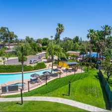
This location is in the Chatsworth neighborhood in Los Angeles. Nearby parks include Mason Park and Stoney Point Park.
Explore how far you can travel by car, bus, bike and foot from 10337 De Soto Avenue.
10337 De Soto Avenue has some transit which means a few nearby public transportation options.
Rail lines:
Ventura County Line
0.7 mi
Bus lines:
167 Metro Local Line
0.1 mi
245/244 Metro Local Line
0.1 mi
158 Metro Local Line
0.1 mi
166/364 Metro Local Line
0.5 mi
243/242 Metro Local Line
0.6 mi
10337 De Soto Avenue is in the Chatsworth neighborhood. Chatsworth is the 79th most walkable neighborhood in Los Angeles with a neighborhood Walk Score of 47.
Moving to Los Angeles from another city? View our moving to Los Angeles guide.


If you are using a screen reader or having trouble reading this website, please call Walk Score customer service at (253) 256-1634.
© 2024 Walk Score