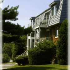
12 Oxford Road
East Gloucester, Gloucester, 01930
Commute to Downtown Gloucester
Almost all errands require a car.
A few nearby public transportation options.
About your score
12 Oxford Road has a Walk Score of 11 out of 100. This location is a Car-Dependent neighborhood so almost all errands require a car.
This location is in the East Gloucester neighborhood in Gloucester. Nearby parks include Robinson Reservation, Robinson Reservation and Nugent Stretch.
Explore how far you can travel by car, bus, bike and foot from 12 Oxford Road.
12 Oxford Road has some transit which means a few nearby public transportation options.
Bus lines:
High School Service (Red)
0.2 mi
Red Line
0.4 mi
Green Line
0.8 mi
Stage Fort Park Shuttle
0.8 mi
12 Oxford Road is in the East Gloucester neighborhood. East Gloucester is the 2nd most walkable neighborhood in Gloucester with a neighborhood Walk Score of 31.


If you are using a screen reader or having trouble reading this website, please call Walk Score customer service at (253) 256-1634.
© 2024 Walk Score