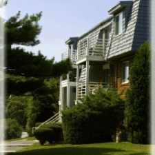
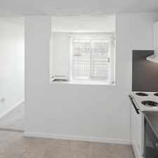
13 Chestnut Street
Central Gloucester, Gloucester, 01930
Commute to Downtown Gloucester
Daily errands do not require a car.
A few nearby public transportation options.
About your score
13 Chestnut Street has a Walk Score of 92 out of 100. This location is a Walker’s Paradise so daily errands do not require a car.
13 Chestnut Street is a 12 minute walk from the Newburyport/Rockport Line at the Gloucester stop.
This location is in the Central Gloucester neighborhood in Gloucester. Nearby parks include Central Gloucester Historic District, Captain Solomon Jacobs Park and Fitzhugh Lane Park.
Explore how far you can travel by car, bus, bike and foot from 13 Chestnut Street.
13 Chestnut Street has some transit which means a few nearby public transportation options. Car sharing is available from RelayRides.
Rail lines:
Newburyport/Rockport Line
0.5 mi
Bus lines:
Stage Fort Park Shuttle
0.0 mi
Orange Line
0.1 mi
High School Service (Red)
0.1 mi
High School Service (Purple)
0.1 mi
Red Line
0.1 mi
High School Service (Orange)
0.1 mi
Blue Line
0.1 mi
Yellow Line (Malls)
0.1 mi
Green Line (Blackburn)
0.1 mi
High School Service (Blue)
0.1 mi
Car shares:
13 Chestnut Street is in the Central Gloucester neighborhood. Central Gloucester is the most walkable neighborhood in Gloucester with a neighborhood Walk Score of 79.


If you are using a screen reader or having trouble reading this website, please call Walk Score customer service at (253) 256-1634.
© 2024 Walk Score