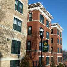
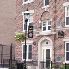
140 Chestnut Street
Metro Center, Springfield, 01103
Commute to Downtown Springfield
Daily errands do not require a car.
Many nearby public transportation options.
About your score
140 Chestnut Street has a Walk Score of 91 out of 100. This location is a Walker’s Paradise so daily errands do not require a car.
This location is in the Metro Center neighborhood in Springfield. Nearby parks include Apremont Triangle Historic District, Downtown Springfield Railroad District and Stearns Sq. Park.
Explore how far you can travel by car, bus, bike and foot from 140 Chestnut Street.
140 Chestnut Street has good transit which means many nearby public transportation options.
Bus lines:
R10 Westfield State University / West Springfield
0.1 mi
B17 Eastfield Mall via Worthington-Wilbraham Rd-Parker
0.1 mi
R14 Feeding Hills/Springfield
0.1 mi
B15 Oak Grove
0.1 mi
P11 Holyoke Community College Express
0.1 mi
B7 State St - Boston Rd/Walmart - Eastfield Mall
0.1 mi
B13 Maple Street / East Longmeadow
0.1 mi
B6 Ludlow via Bay
0.1 mi
G3 Spfld. Plaza via Liberty/King-Westford-Walnut/Spfl
0.1 mi
R27 Wilbraham/Eastfield Mall/Sixteen Acres
0.1 mi
140 Chestnut Street is in the Metro Center neighborhood. Metro Center is the most walkable neighborhood in Springfield with a neighborhood Walk Score of 82.

Springfield Library
Springfield Federal Court House
Springfield Armory Nat'l Hist


If you are using a screen reader or having trouble reading this website, please call Walk Score customer service at (253) 256-1634.
© 2024 Walk Score