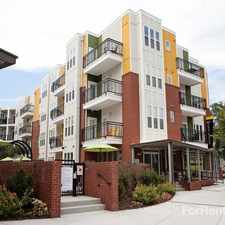
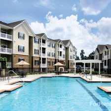
1548 Crest Road
Most errands require a car.
A few nearby public transportation options.
Mostly flat, minimal bike lanes.
Score Details
1548 Crest Road has a Walk Score of 37 out of 100. This location is a Car-Dependent neighborhood so most errands require a car.
This location is in Raleigh. Nearby parks include Spring Park Mini-Park, Fema-Hmgp Phase 1 (2817 Avent Ferry Rd) and Kentwood Park.
Explore how far you can travel by car, bus, bike and foot from 1548 Crest Road.
1548 Crest Road has some transit which means a few nearby public transportation options. Car sharing is available from Zipcar and RelayRides.
Bus lines:
9 NCSU - Gorman Street Local
0.0 mi
NW NCSU Night Wolf Night Service
0.0 mi
10 NCSU - Centennial
0.0 mi
11 NCSU - Village Link
0.1 mi
CT NCSU - Centennial Night Service
0.1 mi
12 Method
0.2 mi
1 NCSU - Avent Ferry
0.2 mi
11L Buck Jones Connector
0.2 mi
11 Avent Ferry
0.2 mi
Car shares:
1548 Crest Road compared to all of Raleigh.
Lower crime area.
Average crime area.
How do you feel walking near 1548 Crest Road?
Day:
Night:
Thanks for your feedback!
This location is in the city of Raleigh, NC. Raleigh has an average Walk Score of 29 and has 403,892 residents.

Nash Square
Sitti
Raleigh City Farm


If you are using a screen reader or having trouble reading this website, please call Walk Score customer service at (253) 256-1634.
© 2024 Walk Score