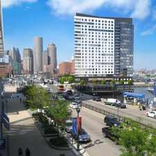
16 Lingard Street
Most errands can be accomplished on foot.
Many nearby public transportation options.
Mostly flat, some bike lanes.
Score Details
16 Lingard Street has a Walk Score of 75 out of 100. This location is Very Walkable so most errands can be accomplished on foot.
16 Lingard Street is a six minute walk from the Fairmount Line and the Franklin Line at the Uphams Corner stop.
This location is in the Roxbury neighborhood in Boston. Nearby parks include Dennis Street Park, Ceylon Park and King School Park.
Explore how far you can travel by car, bus, bike and foot from 16 Lingard Street.
16 Lingard Street has good transit which means many nearby public transportation options. Car sharing is available from Zipcar, RelayRides and Enterprise CarShare.
Rail lines:
Franklin Line
0.2 mi
Fairmount Line
0.2 mi
Red Line
1.0 mi
Greenbush Line
1.1 mi
Middleborough/Lakeville Line
1.1 mi
Kingston/Plymouth Line
1.1 mi
Bus lines:
15
0.2 mi
41
0.2 mi
16
0.3 mi
17
0.3 mi
45
0.3 mi
Car shares:
Bike shares:
16 Lingard Street is in the Roxbury neighborhood. Roxbury is the 18th most walkable neighborhood in Boston with a neighborhood Walk Score of 81.
Moving to Boston from another city? View our moving to Boston guide.

Resting Area
Obass Electronic
Playground


If you are using a screen reader or having trouble reading this website, please call Walk Score customer service at (253) 256-1634.
© 2024 Walk Score