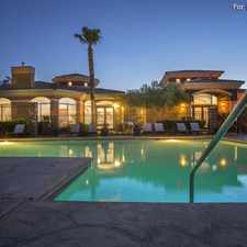
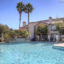
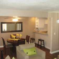
2012 Interbay Street
Most errands require a car.
A few nearby public transportation options.
Flat as a pancake, some bike lanes.
Score Details
2012 Interbay Street has a Walk Score of 46 out of 100. This location is a Car-Dependent neighborhood so most errands require a car.
This location is in the Desert Shores neighborhood in Las Vegas. Nearby parks include Pueblo Park, Pioneer Park and Trent Park.
Nearby schools include Richard H Bryan Elementary School, St Elizabeth Ann Seton Catholic School and Shadow Hills Baptist Preschool.
The closest grocery stores are Jazmine Thai Gourmet At Boca, Safeway and Vons.
Nearby coffee shops include Starbucks, Starbucks and BABYSTACKS Cafe. Nearby restaurants include Metro Catering, Buca di Beppo - Summerlin and Jasmine Thai Express.
2012 Interbay Street is near Pioneer Park, The Hills Park and Woofter Family Park.
There are some bike lanes and the terrain is flat as a pancake. 2012 Interbay Street is somewhat bikeable, there is minimal bike infrastructure.
Explore how far you can travel by car, bus, bike and foot from 2012 Interbay Street.
2012 Interbay Street has some transit which means a few nearby public transportation options.
Bus lines:
210 Lake Mead
0.1 mi
120 Buffalo/Fort Apache
0.5 mi
2012 Interbay Street is in the Desert Shores neighborhood. Desert Shores is the 11th most walkable neighborhood in Las Vegas with a neighborhood Walk Score of 46.
Moving to Las Vegas from another city? View our moving to Las Vegas guide.


If you are using a screen reader or having trouble reading this website, please call Walk Score customer service at (253) 256-1634.
© 2024 Walk Score