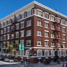
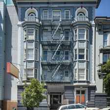
26th Street
Most errands can be accomplished on foot.
Many nearby public transportation options.
Flat as a pancake, good bike lanes.
About your score
26th Street has a Walk Score of 76 out of 100. This location is Very Walkable so most errands can be accomplished on foot.
This location is in the McClymonds neighborhood in Oakland. Nearby parks include McClymonds Mini-Park, Poplar Recreation Area and Poplar Playground.
Explore how far you can travel by car, bus, bike and foot from 26th Street.
26th Street has good transit which means many nearby public transportation options. Car sharing is available from Getaround, RelayRides and Zipcar.
Rail lines:
Pittsburg/Bay Point - SFIA/Millbrae San Francisco Int'l Airport
1.1 mi
Richmond - Daly City/Millbrae Millbrae
1.1 mi
Dublin/Pleasanton - Daly City Daly City
1.1 mi
Warm Spings/South Fremont - Daly City Daly City
1.1 mi
Warm Spings/South Fremont - Richmond Richmond
1.2 mi
Bus lines:
26 Emeryville/14th Bdwy/lLakeshore
0.1 mi
31 Alameda Point/ W. Oakland/MACA BART
0.1 mi
NL San Francisco - Eastmont T.C.
0.3 mi
Car shares:
26th Street compared to all of Oakland.
Lower crime area.
Average crime area.
How do you feel walking near 26th Street?
Day:
Night:
Thanks for your feedback!
26th Street is in the McClymonds neighborhood. McClymonds is the 31st most walkable neighborhood in Oakland with a neighborhood Walk Score of 82.
Moving to Oakland from another city? View our moving to Oakland guide.

Peralta St:28th St
Market St:28th St
Peralta St:24th St


If you are using a screen reader or having trouble reading this website, please call Walk Score customer service at (253) 256-1634.
© 2024 Walk Score