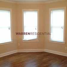
284 West Street
Some errands can be accomplished on foot.
Score Details
284 West Street has a Walk Score of 54 out of 100. This location is Somewhat Walkable so some errands can be accomplished on foot.
284 West Street is a seven minute walk from the Needham Line at the Needham Heights stop.
This location is in Needham. Nearby parks include Needham Conservation Land, Hillside Schl/Glover Meadows and Sweet Conservation Land.
Nearby schools include Hillside Elementary School, Kindercare Learning Center Sacc and Needham High School.
The closest grocery stores are Trader Joe's, Volante Farms and Sudbury Farm.
Nearby coffee shops include Starbucks, Dunkin' Donuts and Treat Cupcake Bar. Nearby restaurants include Gianni's Deli and Pizza, Town House of Pizza and Blue On Highland.
284 West Street is near Needham Conservation Land, Hillside Schl/Glover Meadows and Sweet Conservation Land.
Explore how far you can travel by car, bus, bike and foot from 284 West Street.
Rail lines:
Needham Line
0.3 mi
Bus lines:
59
0.4 mi
Car shares:
This location is in the city of Needham, MA. Needham has an average Walk Score of 37 and has 28,886 residents.
Learn More About Needham


If you are using a screen reader or having trouble reading this website, please call Walk Score customer service at (253) 256-1634.
© 2024 Walk Score