Most errands require a car.
A few nearby public transportation options.
Flat as a pancake, minimal bike lanes.
Score Details
This location has a Walk Score of 26 out of 100. This location is a Car-Dependent neighborhood so most errands require a car.
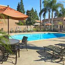
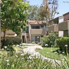
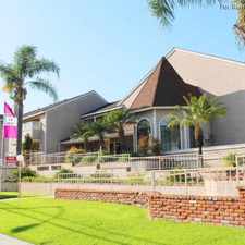
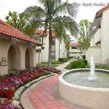
This location is in the Southeast Anaheim neighborhood in Anaheim. Nearby parks include Rio Vista Park, Pioneer Park and Olive Park.
Nearby schools include Rio Vista Elementary School, Sunkist Elementary School and Saints Of Glory School.
The closest grocery stores are Gourmet Lovers, In Every Way Gourmet and Choice Marketing.
Nearby coffee shops include 180 Snacks Inc, Blake's Place and Miraloma Cafe. Nearby restaurants include Pollo De Oro, CP Construction and Taqueria Escalante.
This location is near Rio Vista Park, Pioneer Park and Juarez Park.
There are minimal bike lanes and the terrain is flat as a pancake. This location is bikeable, there is some bike infrastructure.
Explore how far you can travel by car, bus, bike and foot from this location.
This location has some transit which means a few nearby public transportation options. Car sharing is available from RelayRides.
Bus lines:
38 Lakewood - Anaheim Hills
0.3 mi
153 Orange - Brea Mall
0.3 mi
42 Seal Beach - Orange
0.5 mi
59 Anaheim - Irvine
0.7 mi
129 La Habra - Anaheim
0.7 mi
410 Anaheim - Anaheim Canyon Metrolink Station **
0.7 mi
213 Brea - Irvine Express
0.7 mi
Car shares:
This location is in the Southeast Anaheim neighborhood. Southeast Anaheim is the 5th most walkable neighborhood in Anaheim with a neighborhood Walk Score of 55.


If you are using a screen reader or having trouble reading this website, please call Walk Score customer service at (253) 256-1634.
© 2024 Walk Score