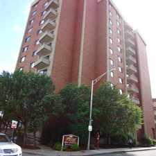
33 Cary Avenue
Most errands can be accomplished on foot.
Many nearby public transportation options.
Score Details
33 Cary Avenue has a Walk Score of 86 out of 100. This location is Very Walkable so most errands can be accomplished on foot.
33 Cary Avenue is an eight minute walk from the Newburyport/Rockport Line at the Chelsea stop.
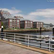
This location is in Chelsea. Nearby parks include Fifth Street Park, Malone Park and Bellingham Hill Park.
Explore how far you can travel by car, bus, bike and foot from 33 Cary Avenue.
33 Cary Avenue has good transit which means many nearby public transportation options. Car sharing is available from RelayRides and Zipcar.
Rail lines:
Newburyport/Rockport Line
0.3 mi
Blue Line
1.2 mi
Bus lines:
116
0.1 mi
111
0.1 mi
117
0.1 mi
114
0.2 mi
116/117
0.2 mi
Car shares:
This location is in the city of Chelsea, MA. Chelsea has an average Walk Score of 79 and has 35,177 residents.

Information Technology Division
Chelsea Public Library
Bunker Hill Community College


If you are using a screen reader or having trouble reading this website, please call Walk Score customer service at (253) 256-1634.
© 2024 Walk Score