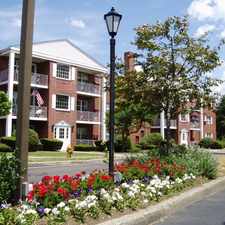
33 Thayer Circle
Randolph, Massachusetts, 02368
Commute to Downtown Randolph
Almost all errands require a car.
A few nearby public transportation options.
About your score
33 Thayer Circle has a Walk Score of 11 out of 100. This location is a Car-Dependent neighborhood so almost all errands require a car.
This location is in Randolph. Nearby parks include Bertha Soule Memorial Park, Goldstein Open Space and Belcher Park.
Explore how far you can travel by car, bus, bike and foot from 33 Thayer Circle.
33 Thayer Circle has some transit which means a few nearby public transportation options.
Bus lines:
240
0.6 mi
12 Routes to Boston and Beyond
0.6 mi
This location is in the city of Randolph, MA. Randolph has an average Walk Score of 35 and has 32,112 residents.
Learn More About Randolph


If you are using a screen reader or having trouble reading this website, please call Walk Score customer service at (253) 256-1634.
© 2024 Walk Score