Daily errands do not require a car.
World-class public transportation.
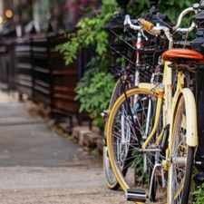
Flat as a pancake, excellent bike lanes.
Score Details
This location has a Walk Score of 100 out of 100. This location is a Walker’s Paradise so daily errands do not require a car.
This location is an eight minute walk from the 4 Lexington Avenue Express and the 6 Lexington Avenue Local at the 23 St stop.
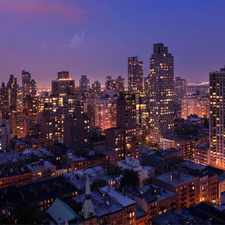
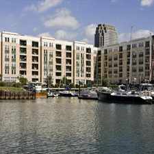
This location is in the Gramercy neighborhood in New York. Nearby parks include Peter's Field, Augustus Saint-Gaudens Playground and Bellevue South Park.
Nearby schools include Junior High School 104 Simon Baruch, American Sign Language & English School and American Sign Language and English Lower School.
The closest grocery stores are Morton Williams, Rosendo Fish Market and Fine Food Deli & Convenience.
Nearby coffee shops include Cafe Green, Pushcart Coffee and Starbucks. Nearby restaurants include McDonald's, Enterprise Parking Systems and East Side Cafe.
This location is near School of Visual Arts, Bellevue South Park and Bellevue Society Garden.
There are excellent bike lanes and the terrain is flat as a pancake. This location is very bikeable, biking is convenient for most trips. Bike sharing is available from Citi Bike.
Explore how far you can travel by car, bus, bike and foot from this location.
This location is a Rider’s Paradise which means world-class public transportation. Car sharing is available from Zipcar, Hertz On Demand, RelayRides and Enterprise CarShare.
Rail lines:
4 Lexington Avenue Express
0.4 mi
6 Lexington Avenue Local
0.4 mi
L 14 St-Canarsie Local
0.4 mi
5 Lexington Avenue Express
0.6 mi
N Broadway Express
0.6 mi
R Broadway Local
0.6 mi
Q Broadway Express
0.6 mi
PATH Journal Square - 33rd Street
0.8 mi
PATH Hoboken - 33rd Street
0.8 mi
PATH Journal Square - 33rd Street (via Hoboken)
0.8 mi
Bus lines:
M9 Battery Park City - Kips Bay
0.0 mi
M34A-SBS Waterside - Port Authority Terminal
0.0 mi
M15-SBS East Harlem - South Ferry
0.1 mi
M15 East Harlem - South Ferry
0.1 mi
M23 Chelsea Piers - East Side
0.1 mi
X38 Sea Gate / Bensonhurst - Midtown Manhattan Express
0.1 mi
X37 Bay Ridge - Midtown Manhattan Express
0.1 mi
X64 Cambria Heights - Midtown Manhattan Express
0.1 mi
X63 Rosedale - Midtown Manhattan Express
0.1 mi
X68 Floral Park - Midtown Manhattan Express
0.1 mi
Car shares:
Bike shares:
This location is in the Gramercy neighborhood. Gramercy is the 16th most walkable neighborhood in New York with a neighborhood Walk Score of 99.
Moving to New York from another city? View our moving to New York guide.

The Bluebell Café
NYU Langone Medical Center
spy shop nyc


If you are using a screen reader or having trouble reading this website, please call Walk Score customer service at (253) 256-1634.
© 2024 Walk Score