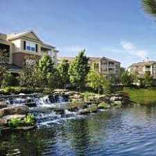
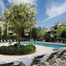
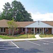
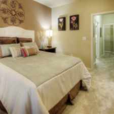
3531 Rawdon Drive
Almost all errands require a car.
A few nearby public transportation options.
Mostly flat, some bike lanes.
Score Details
3531 Rawdon Drive has a Walk Score of 11 out of 100. This location is a Car-Dependent neighborhood so almost all errands require a car.
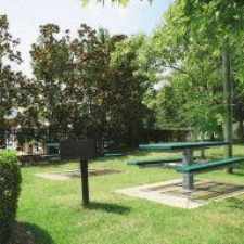
This location is in Durham. The closest park is Solite Park.
Nearby schools include Youth Transitions Learning & Dev. Center, Pearsontown Elementary School and Southwest Elementary School.
The closest grocery store is Perkins Orchard.
Nearby coffee shops include Kangaroo Express, Kangaroo Express and BLUE RIDGE DELI & CAFE. Nearby restaurants include Bojangles', La Regia Latina and Greenfields Catering.
3531 Rawdon Drive is near Solite Park, Cook Road Park and Piney Wood Park.
There are some bike lanes and the terrain is mostly flat. 3531 Rawdon Drive is somewhat bikeable, there is minimal bike infrastructure.
Explore how far you can travel by car, bus, bike and foot from 3531 Rawdon Drive.
3531 Rawdon Drive has some transit which means a few nearby public transportation options.
Bus lines:
12 DATA - Hwy 55 & Hwy 54
0.4 mi
7 DATA - Fayetteville Rd & Southpoint Mall
0.7 mi
This location is in the city of Durham, NC. Durham has an average Walk Score of 28 and has 228,330 residents.

The Pizzeria
Durham Bulls Athletic Park
CrossFit Durham


If you are using a screen reader or having trouble reading this website, please call Walk Score customer service at (253) 256-1634.
© 2024 Walk Score