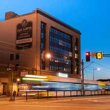
400 Spring Street
West Seventh, St. Paul, 55102
Commute to Downtown St. Paul
Most errands require a car.
Flat as a pancake, excellent bike lanes.
About your score
400 Spring Street has a Walk Score of 36 out of 100. This location is a Car-Dependent neighborhood so most errands require a car.
This location is in the West Seventh neighborhood in St. Paul. Nearby parks include Irvine Park, Rice Park and Cathedral Hill Park.
Explore how far you can travel by car, bus, bike and foot from 400 Spring Street.
Rail lines:
Green METRO Green Line
0.9 mi
Bus lines:
70 St Clair Av - W 7St - Burns Av - Sunray
0.3 mi
74 46St - Randolph - W 7St - E 7St - Sunray
0.3 mi
54 Ltd Stop - W 7St - Airport - MOA
0.4 mi
417 Mendota Heights - St Paul
0.4 mi
63 Grand Av - Raymond Sta - Sunray - McKnight Rd
0.4 mi
62 Rice St - Little Canada - Shoreview - Signal Hills
0.5 mi
Car shares:
Bike shares:
400 Spring Street is in the West Seventh neighborhood. West Seventh is the 17th most walkable neighborhood in St. Paul with a neighborhood Walk Score of 61.

High Bridge Dog Park
High Bridge
High Bridge


If you are using a screen reader or having trouble reading this website, please call Walk Score customer service at (253) 256-1634.
© 2024 Walk Score