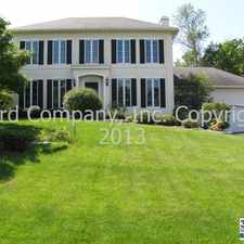
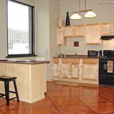
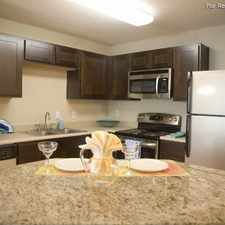
410 Van Dyke Street
Some errands can be accomplished on foot.
Mostly flat, minimal bike lanes.
Score Details
410 Van Dyke Street has a Walk Score of 54 out of 100. This location is Somewhat Walkable so some errands can be accomplished on foot.
This location is in the Battle Creek neighborhood in St. Paul. The closest park is Battle Creek Park.
Explore how far you can travel by car, bus, bike and foot from 410 Van Dyke Street.
Bus lines:
63 Grand Av - Raymond Sta - Sunray - McKnight Rd
0.2 mi
80 Maplewood - White Bear Av - Sunray
0.2 mi
70 St Clair Av - W 7St - Burns Av - Sunray
0.3 mi
219 Maplewood - Century Av - Hadley Av - Sunray
0.3 mi
74 46St - Randolph - W 7St - E 7St - Sunray
0.3 mi
410 Van Dyke Street is in the Battle Creek neighborhood. Battle Creek is the 17th most walkable neighborhood in St. Paul with a neighborhood Walk Score of 35.


If you are using a screen reader or having trouble reading this website, please call Walk Score customer service at (253) 256-1634.
© 2024 Walk Score