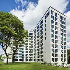
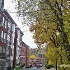
Roxborough, Philadelphia, 19128
Commute to Downtown Philadelphia
Most errands can be accomplished on foot.
Many nearby public transportation options.
Very steep hills, some bike lanes.
About your score
This location has a Walk Score of 86 out of 100. This location is Very Walkable so most errands can be accomplished on foot.
This location is a five minute walk from the Manayunk/Norristown Line Manayunk/Norristown Line at the Manayunk stop.
This location is in the Roxborough neighborhood in Philadelphia. Nearby parks include Pretzel Park, Manayunk Park and Venice Island Playground.
Explore how far you can travel by car, bus, bike and foot from this location.
This location has good transit which means many nearby public transportation options. Car sharing is available from Zipcar.
Rail lines:
Manayunk/Norristown Line Manayunk/Norristown Line
0.3 mi
Bus lines:
35 Manayunk Roxborough Loop
0.1 mi
32 Broad-Carpenter to Ridge-Lyceum
0.1 mi
27 Broad-Carpenter to PlymouthMtgMall
0.1 mi
61 9th-Market to Manayunk
0.3 mi
62 9th-Market to Andorra
0.3 mi
Car shares:
This location compared to all of Philadelphia.
Lower crime area.
Lower crime area.
How do you feel walking near this location?
Day:
Night:
Thanks for your feedback!
This location is in the Roxborough neighborhood. Roxborough is the 71st most walkable neighborhood in Philadelphia with a neighborhood Walk Score of 53.
Moving to Philadelphia from another city? View our moving to Philadelphia guide.

Graham Pub
The Foodery, Ridge Ave. 19128
Peck Miller's


If you are using a screen reader or having trouble reading this website, please call Walk Score customer service at (253) 256-1634.
© 2024 Walk Score