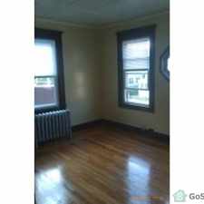
48 Drexel Street
Most errands require a car.
A few nearby public transportation options.
Score Details
48 Drexel Street has a Walk Score of 39 out of 100. This location is a Car-Dependent neighborhood so most errands require a car.
This location is in the Liberty Heights neighborhood in Springfield. Nearby parks include Walsh Park, Abbey Brook Ext. and Van Sickle Sch. Athletic Field.
Nearby schools include Liberty Elementary School, The Springfield Renaissance School and Van Sickle Middle School.
The closest grocery stores are Nataly's Market, Save-A-Lot and T Falls Fruit & Vegetable.
Nearby coffee shops include Dunkin' Donuts, Dunkin' Donuts and Dunkin' Donuts. Nearby restaurants include Currents Restaurant, Fortune Cookie Chinese Restaurant and Sabor A Quisqueya Restaurant.
48 Drexel Street is near Walsh Park, Abbey Brook Ext. and Van Sickle Sch. Athletic Field.
Explore how far you can travel by car, bus, bike and foot from 48 Drexel Street.
48 Drexel Street has some transit which means a few nearby public transportation options.
Bus lines:
B6 Ludlow via Bay
0.3 mi
G2 Carew-East Springfield / Belmont-Dwight Rd.
0.3 mi
B15 Oak Grove
0.5 mi
48 Drexel Street is in the Liberty Heights neighborhood. Liberty Heights is the 10th most walkable neighborhood in Springfield with a neighborhood Walk Score of 59.


If you are using a screen reader or having trouble reading this website, please call Walk Score customer service at (253) 256-1634.
© 2024 Walk Score