Most errands require a car.
It is possible to get on a bus.
Some hills, minimal bike lanes.
Score Details
This location has a Walk Score of 33 out of 100. This location is a Car-Dependent neighborhood so most errands require a car.
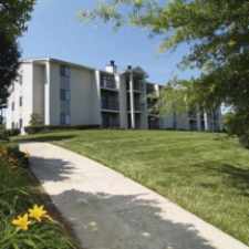
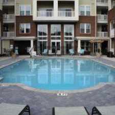
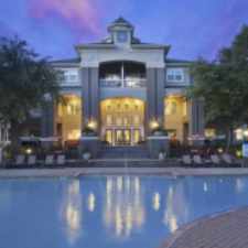
This location is in the Northwest Raleigh neighborhood in Raleigh. Nearby parks include Umstead State Park-Crabtree-Reedy Creek, Umstead State Park-Crabtree-Reedy Creek and Umstead State Park-Crabtree-Reedy Creek.
The closest school is Rejoice Academy.
The closest grocery stores are Coffeeshop Depot, La Tiendita Market and Kim's Asian Market.
Nearby coffee shops include Starbucks, Caribou Coffee and Starbucks. Nearby restaurants include China Town Express, Sharky's Place and Wing Street.
This location is near Laurel Hills Park, Carl Schenck Memorial Forest and Brookhaven Nature Park.
There are minimal bike lanes and the terrain has some hills. This location is somewhat bikeable, there is minimal bike infrastructure.
Explore how far you can travel by car, bus, bike and foot from this location.
This location has minimal transit which means it is possible to get on a bus.
Bus lines:
33c CAT - Glenwood Creedmoor Connector
0.9 mi
6 CAT - Crabtree
0.9 mi
4 CAT - Rex Hospital
1.4 mi
38 CAT - Blue Ridge
1.4 mi
This location is in the Northwest Raleigh neighborhood. Northwest Raleigh is the 14th most walkable neighborhood in Raleigh with a neighborhood Walk Score of 25.
Moving to Raleigh from another city? View our moving to Raleigh guide.


If you are using a screen reader or having trouble reading this website, please call Walk Score customer service at (253) 256-1634.
© 2024 Walk Score