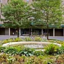
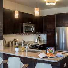
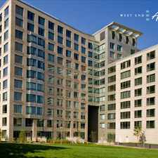
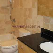
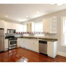
560 Commercial Street
Daily errands do not require a car.
World-class public transportation.
Flat as a pancake, excellent bike lanes.
Score Details
560 Commercial Street has a Walk Score of 93 out of 100. This location is a Walker’s Paradise so daily errands do not require a car.
560 Commercial Street is a six minute walk from the Fitchburg/South Acton Line, the Haverhill Line and the Lowell Line at the North Station stop.
This location is in Boston. Nearby parks include North End Park, Paul Revere Mall and USS Constitution.
Nearby schools include Eliot Elementary School, Northend Children's Center and St John School.
The closest grocery stores are Shop MFI Market, Eastern Food Facilities and Bob's Grocery Store.
Nearby coffee shops include Caffe Lil Italy, Causeway Cafe and Equal Exchange Cafe. There are 148 restaurants within a 15 minute walk including Ducali Pizzeria & Bar, Filippo Ristorante and Massimino's Cucina Italiana.
560 Commercial Street is near Paul Revere Mall, Charlestown Navy Park and Paul Revere Park.
There are excellent bike lanes and the terrain is flat as a pancake. 560 Commercial Street is very bikeable, biking is convenient for most trips. Bike sharing is available from Hubway.
Explore how far you can travel by car, bus, bike and foot from 560 Commercial Street.
560 Commercial Street is a Rider’s Paradise which means world-class public transportation. Car sharing is available from Zipcar, RelayRides, Hertz On Demand and Enterprise CarShare.
Rail lines:
Lowell Line
0.3 mi
Newburyport/Rockport Line
0.3 mi
Fitchburg/South Acton Line
0.3 mi
Haverhill Line
0.3 mi
Orange Line
0.3 mi
Green Line
0.3 mi
Blue Line
0.6 mi
Bus lines:
4
0.1 mi
111
0.1 mi
92
0.1 mi
93
0.1 mi
89/93
0.1 mi
428
0.2 mi
426
0.2 mi
354
0.4 mi
325
0.4 mi
434
0.4 mi
Car shares:
Bike shares:
This location is in the city of Boston, MA. Boston has an average Walk Score of 80 and has 617,594 residents.

Mission Hill Playground
Park Street Station
Castle At Park Plaza Hotel


If you are using a screen reader or having trouble reading this website, please call Walk Score customer service at (253) 256-1634.
© 2024 Walk Score