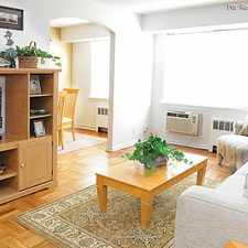
Most errands can be accomplished on foot.
Score Details
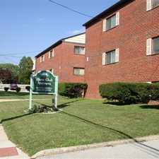
This location has a Walk Score of 83 out of 100. This location is Very Walkable so most errands can be accomplished on foot.
This location is a seven minute walk from the 101 Media to 69th St TC and the 102 Sharon Hill to 69th St TC at the Fairfield Av Station stop.
Nearby parks include Cobbs Creek, Cobbs Creek and Cobbs Creek.
Nearby schools include Bywood Elementary School, Stonehurst Hills Elementary School and St Cyprian Catholic School.
The closest grocery stores are 69th St Food Market, Tim's West Indian Grocery and Halal Meat & Grocery.
Nearby coffee shops include Dunkin' Donuts, Tropical Spices and Five Points Coffee. Nearby restaurants include Leandro's Pizza House, Subway and Fu Hing Chinese Restaurant.
Explore how far you can travel by car, bus, bike and foot from this location.
Rail lines:
102 Sharon Hill to 69th St TC
0.2 mi
101 Media to 69th St TC
0.2 mi
MFL Frankford TC to 69th St TC
0.2 mi
NHSL Norristown TC to 69th St TC
0.2 mi
Bus lines:
113 Tri State Mall to 69th St TC
0.1 mi
116 USPS Eastwick to 69th St TC
0.1 mi
108 UPS or Airport to 69th St TC
0.1 mi
107 Lawrence Park to 69th St TC
0.2 mi
109 Chester TC to 69th St TC
0.2 mi
110 Penn State U to 69th St TC
0.2 mi
111 Chadds Ford to 69th St TC
0.2 mi
104 West Chester U to 69th St TC
0.2 mi
123 King of Prussia to 69th St TC
0.2 mi
112 DCCC to 69th St TC
0.2 mi


If you are using a screen reader or having trouble reading this website, please call Walk Score customer service at (253) 256-1634.
© 2024 Walk Score