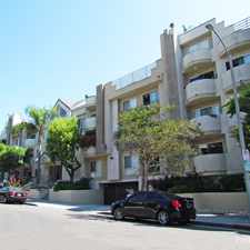
694 Walther Way
Brentwood, Los Angeles, 90049
Commute to Downtown Santa Monica
Almost all errands require a car.
A few nearby public transportation options.
Very steep hills, minimal bike lanes.
About your score
694 Walther Way has a Walk Score of 12 out of 100. This location is a Car-Dependent neighborhood so almost all errands require a car.
This location is in the Brentwood neighborhood in Los Angeles. Nearby parks include Crestwood Hills Park, Barrington Recreation Center and Sulivan Canyon Park.
Explore how far you can travel by car, bus, bike and foot from 694 Walther Way.
694 Walther Way has some transit which means a few nearby public transportation options. Car sharing is available from Hertz On Demand.
Bus lines:
2 Metro Local Line
0.7 mi
15 Barrington Ave
0.8 mi
734 Metro Rapid Line
0.8 mi
234 Metro Local Line
0.8 mi
Car shares:
694 Walther Way is in the Brentwood neighborhood. Brentwood is the 75th most walkable neighborhood in Los Angeles with a neighborhood Walk Score of 52.
Moving to Los Angeles from another city? View our moving to Los Angeles guide.

Brentwood Village Farmers Market
11628 Montana Ave
11743 Darlington Ave


If you are using a screen reader or having trouble reading this website, please call Walk Score customer service at (253) 256-1634.
© 2024 Walk Score