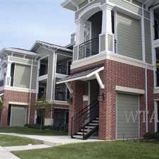
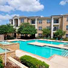
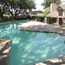
715 Butler Point
Almost all errands require a car.
A few nearby public transportation options.
Mostly flat, minimal bike lanes.
Score Details
715 Butler Point has a Walk Score of 23 out of 100. This location is a Car-Dependent neighborhood so almost all errands require a car.
This location is in San Antonio. The closest park is Trophy Ridge.
Nearby schools include Fisher Elementary School, Stevens High School and Lewis Elementary School.
The closest grocery stores are H-E-B plus!, HEB plus - San Antonio and Healthy Cup Of Coffee.
Nearby coffee shops include Sazon Mexican Cafe and Starbucks. Nearby restaurants include Thai Hut Restaurant, Schlotzsky's and Schlotzsky's.
715 Butler Point is near Slick Creek Park, Lackland Terrace Park and Cathedral Rock Nature Park.
There are minimal bike lanes and the terrain is mostly flat. 715 Butler Point is somewhat bikeable, there is minimal bike infrastructure.
Explore how far you can travel by car, bus, bike and foot from 715 Butler Point.
715 Butler Point has some transit which means a few nearby public transportation options.
Bus lines:
620 INGRAM/NWVISTAS
0.3 mi
613 HERITAGE NW / KEL-LAC
0.3 mi
64 US 90 Express
0.7 mi
This location is in the city of San Antonio, TX. San Antonio has an average Walk Score of 34 and has 1,327,407 residents.

BLANCO & W. MAGNOLIA
Light House
Hot Spot BBQ


If you are using a screen reader or having trouble reading this website, please call Walk Score customer service at (253) 256-1634.
© 2024 Walk Score