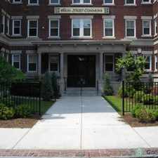
78 Hall Street
Agawam Town, Massachusetts, 01030
Commute to Downtown Agawam Town

78 Hall Street has a Walk Score of 36 out of 100. This location is a Car-Dependent neighborhood so most errands require a car.
This location is in Agawam Town. Nearby parks include Wade Park, Benjamin Wade Park and Legion Park.
Explore how far you can travel by car, bus, bike and foot from 78 Hall Street.
This location is in the city of Agawam Town, MA. Agawam Town has an average Walk Score of 22 and has 28,438 residents.
Learn More About Agawam Town


If you are using a screen reader or having trouble reading this website, please call Walk Score customer service at (253) 256-1634.
© 2024 Walk Score