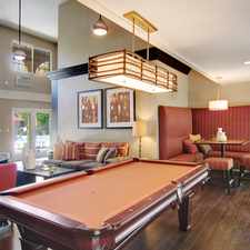
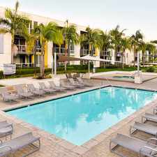
7800 Airlane Avenue
Commute to Downtown Culver City
Most errands require a car.
A few nearby public transportation options.
Mostly flat, minimal bike lanes.
About your score
7800 Airlane Avenue has a Walk Score of 31 out of 100. This location is a Car-Dependent neighborhood so most errands require a car.
This location is in the Westchester-Playa Del Rey neighborhood in Los Angeles. Nearby parks include Carl E Nielsen Youth Park, Fox Hills Park and Ashwood Park.
Explore how far you can travel by car, bus, bike and foot from 7800 Airlane Avenue.
7800 Airlane Avenue has some transit which means a few nearby public transportation options. Car sharing is available from RelayRides and Zipcar.
Bus lines:
102 Metro Local Line
0.3 mi
6 Sepulveda Boulevard
0.4 mi
217 Metro Local Line
0.5 mi
115 Metro Local Line
0.6 mi
Car shares:
7800 Airlane Avenue is in the Westchester-Playa Del Rey neighborhood. Westchester-Playa Del Rey is the 67th most walkable neighborhood in Los Angeles with a neighborhood Walk Score of 59.
Moving to Los Angeles from another city? View our moving to Los Angeles guide.

Del Rey Lagoon Park
Del Rey Lagoon Park
St Jerome School


If you are using a screen reader or having trouble reading this website, please call Walk Score customer service at (253) 256-1634.
© 2024 Walk Score