Most errands require a car.
A few nearby public transportation options.
Score Details
This location has a Walk Score of 31 out of 100. This location is a Car-Dependent neighborhood so most errands require a car.
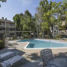
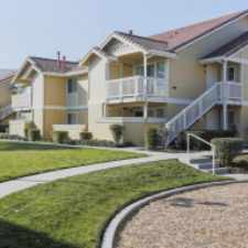
This location is in Concord. Nearby parks include Ygnacio Valley Park, Lime Ridge Open Space and Concord Community Park.
Nearby schools include Ygnacio Valley Elementary School, Spectrum Center-valley Campus and St Francis Of Assisi School.
The closest grocery stores are Concord Produce Market, Montanas and Central Market & Liquor.
Nearby coffee shops include Starbucks, Hot Basil Cafe and Mi Oficina Computer Cafe. Nearby restaurants include Salsa Verde Cuisine, Scrumpy's Sandwich Shoppe and Gangnam Cafe.
This location is near Ygnacio Valley Park, Concord Community Park and Markham Nature Area.
Explore how far you can travel by car, bus, bike and foot from this location.
This location has some transit which means a few nearby public transportation options.
Rail lines:
Pittsburg/Bay Point - SFIA/Millbrae San Francisco Int'l Airport
1.4 mi
Bus lines:
15 Treat Blvd
0.7 mi
311 BART Concord/BART PH/BART WC
0.7 mi
11 BART Concord/BART Pleasant Hi
0.7 mi
16 AMTRAK/BART Concord
0.8 mi
14 Monument Blvd
0.8 mi
314 BART Concord/Monument Blvd/DVC
0.8 mi
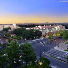
This location is in the city of Concord, CA. Concord has an average Walk Score of 43 and has 122,067 residents.
Learn More About Concord


If you are using a screen reader or having trouble reading this website, please call Walk Score customer service at (253) 256-1634.
© 2024 Walk Score