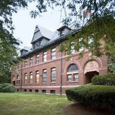
Evelyn Road
Most errands require a car.
Score Details
Evelyn Road has a Walk Score of 47 out of 100. This location is a Car-Dependent neighborhood so most errands require a car.
Evelyn Road is a 12 minute walk from the Needham Line at the Needham Heights stop.
This location is in Needham. Nearby parks include Cricket Field, Cricket Field and Chester F Mills Field.
Nearby schools include John Eliot Elementary School, Hillside Elementary School and Kindercare Learning Center Sacc.
The closest grocery stores are Market Rconnaissance Group Llc, Trader Joe's and Omaha Steaks.
Nearby coffee shops include Starbucks, Depot Coffee Shoppe and Cutler Lake Cafe. Nearby restaurants include 3 Squares, Gianni's Deli and Pizza and Blue On Highland.
Evelyn Road is near Cricket Field, Chester F Mills Field and Thorpe Park.
Explore how far you can travel by car, bus, bike and foot from Evelyn Road.
Rail lines:
Needham Line
0.6 mi
Green Line
1.5 mi
Bus lines:
59
0.1 mi
Car shares:
This location is in the city of Needham, MA. Needham has an average Walk Score of 37 and has 28,886 residents.
Learn More About Needham


If you are using a screen reader or having trouble reading this website, please call Walk Score customer service at (253) 256-1634.
© 2024 Walk Score