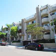
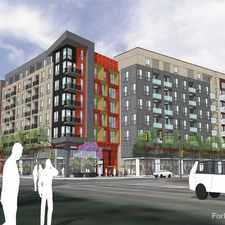
South La Cienega Boulevard
Commute to Downtown West Hollywood
Most errands can be accomplished on foot.
Many nearby public transportation options.
Very steep hills, minimal bike lanes.
About your score
South La Cienega Boulevard has a Walk Score of 86 out of 100. This location is Very Walkable so most errands can be accomplished on foot.
This location is in the Mid-City West neighborhood in Los Angeles. Nearby parks include West Hollywood Park, William S. Hart Park and Rosewood Park.
Explore how far you can travel by car, bus, bike and foot from South La Cienega Boulevard.
South La Cienega Boulevard has good transit which means many nearby public transportation options. Car sharing is available from RelayRides and Zipcar.
Bus lines:
2 Metro Local Line
0.1 mi
105 Metro Local Line
0.2 mi
30/330 Metro Local Line
0.2 mi
4 Metro Local Line
0.3 mi
704 Metro Rapid Line
0.3 mi
705 Metro Rapid Line
0.3 mi
Car shares:
South La Cienega Boulevard is in the Mid-City West neighborhood. Mid-City West is the 6th most walkable neighborhood in Los Angeles with a neighborhood Walk Score of 90.
Moving to Los Angeles from another city? View our moving to Los Angeles guide.

The Fat Cow
Melrose / Spaulding
Roadhouse LA


If you are using a screen reader or having trouble reading this website, please call Walk Score customer service at (253) 256-1634.
© 2024 Walk Score