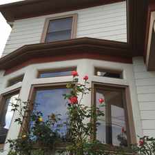
South 4th Street
Some errands can be accomplished on foot.
A few nearby public transportation options.
About your score
South 4th Street has a Walk Score of 56 out of 100. This location is Somewhat Walkable so some errands can be accomplished on foot.
This location is in the Santa Fe neighborhood in Richmond. Nearby parks include Nustrom Park, M L King Memorial Park and Atchison Village Park.
Explore how far you can travel by car, bus, bike and foot from South 4th Street.
South 4th Street has some transit which means a few nearby public transportation options. Car sharing is available from Getaround.
Rail lines:
Richmond - Daly City/Millbrae Millbrae
1.0 mi
Fremont - Richmond Richmond
1.0 mi
Bus lines:
42 Del Norte BART Station - San Rafael
0.3 mi
76 Hilltop Mall - CCC - del Norte BART
0.3 mi
40 Del Norte BART Station - San Rafael
0.4 mi
72M Richmond - Downtown Oakland
0.6 mi
376 North Richmond Shuttle
0.6 mi
Car shares:
South 4th Street is in the Santa Fe neighborhood. Santa Fe is the 11th most walkable neighborhood in Richmond with a neighborhood Walk Score of 60.


If you are using a screen reader or having trouble reading this website, please call Walk Score customer service at (253) 256-1634.
© 2024 Walk Score