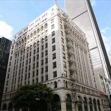
South Bonnie Brae Street
Westlake, Los Angeles, 90006
Commute to Downtown Florence-Graham
Daily errands do not require a car.
Transit is convenient for most trips.
Flat as a pancake, minimal bike lanes.
About your score
South Bonnie Brae Street has a Walk Score of 94 out of 100. This location is a Walker’s Paradise so daily errands do not require a car.
South Bonnie Brae Street is a 10 minute walk from the Metro Purple Line (805) and the Metro Red Line (802) at the Westlake / MacArthur Park Station stop.
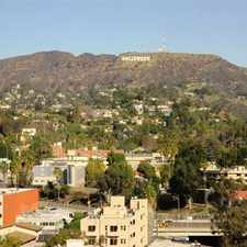
This location is in the Westlake neighborhood in Los Angeles. Nearby parks include South Bonnie Brae Tract Historic District, Alvarado Terrace Historic District and Terrace Park.
Explore how far you can travel by car, bus, bike and foot from South Bonnie Brae Street.
South Bonnie Brae Street has excellent transit which means transit is convenient for most trips. Car sharing is available from RelayRides and Zipcar.
Rail lines:
Metro Purple Line (805)
0.5 mi
Metro Red Line (802)
0.5 mi
Metro Blue Line (801)
0.9 mi
Metro Expo Line (806)
0.9 mi
Bus lines:
28 Metro Local Line
0.1 mi
200 Metro Local Line
0.2 mi
728 Metro Rapid Line
0.2 mi
30/330 Metro Local Line
0.3 mi
603 Metro Local Line
0.3 mi
66 Metro Local Line
0.3 mi
18 Metro Local Line
1.1 mi
720 Metro Rapid Line
1.1 mi
51/52/352 Metro Local Line
1.1 mi
201 Metro Local Line
1.1 mi
Car shares:
South Bonnie Brae Street is in the Westlake neighborhood. Westlake is the 5th most walkable neighborhood in Los Angeles with a neighborhood Walk Score of 90.
Moving to Los Angeles from another city? View our moving to Los Angeles guide.


If you are using a screen reader or having trouble reading this website, please call Walk Score customer service at (253) 256-1634.
© 2024 Walk Score