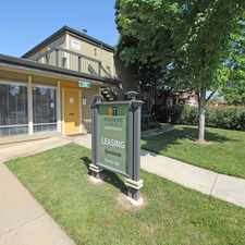
S Street
Daily errands do not require a car.
Many nearby public transportation options.
Flat as a pancake, excellent bike lanes.
About your score
S Street has a Walk Score of 93 out of 100. This location is a Walker’s Paradise so daily errands do not require a car.
This location is in Sacramento. Nearby parks include Fremont Park, California Vietnam Veterans Memorial and Capitol Park.
Explore how far you can travel by car, bus, bike and foot from S Street.
S Street has good transit which means many nearby public transportation options. Car sharing is available from RelayRides and Zipcar.
Rail lines:
Blue Meadowview - Watt/I-80
0.2 mi
Gold Downtown - Folsom
0.2 mi
Green 13th - Richards/Township 9
0.4 mi
Bus lines:
62 FREEPORT
0.1 mi
38 P/Q STREETS
0.2 mi
6 LAND PARK
0.2 mi
109 HAZEL EXPRESS
0.2 mi
C Sacramento Commuter
0.2 mi
Car shares:
Bike shares:
S Street compared to all of Sacramento.
Lower crime area.
Average crime area.
How do you feel walking near S Street?
Day:
Night:
Thanks for your feedback!
This location is in the city of Sacramento, CA. Sacramento has an average Walk Score of 46 and has 466,488 residents.

Underground Books
Dixieland Park
Greenfair Park


If you are using a screen reader or having trouble reading this website, please call Walk Score customer service at (253) 256-1634.
© 2024 Walk Score