Southwest Beaverton-Hillsdale Highway
Portland, Oregon, 97225
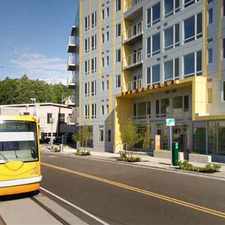
Commute to Downtown Beaverton
Some errands can be accomplished on foot.
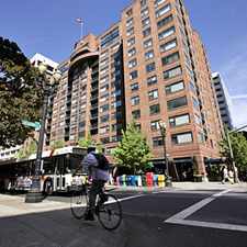
A few nearby public transportation options.
Mostly flat, minimal bike lanes.
About your score
Southwest Beaverton-Hillsdale Highway has a Walk Score of 60 out of 100. This location is Somewhat Walkable so some errands can be accomplished on foot.
This location is in Portland. Nearby parks include Raleighwood Park, Fanno Creek Natural Area and Raleigh Scholls Park.
Explore how far you can travel by car, bus, bike and foot from Southwest Beaverton-Hillsdale Highway.
Southwest Beaverton-Hillsdale Highway has some transit which means a few nearby public transportation options. Car sharing is available from RelayRides.
Bus lines:
54 Beaverton-Hillsdale Hwy
0.0 mi
56 Scholls Ferry Rd
0.0 mi
55 Hamilton
0.1 mi
61 Marquam Hill/Beaverton
0.2 mi
Car shares:
Southwest Beaverton-Hillsdale Highway compared to all of Portland.
Lowest crime area.
Lowest crime area.
How do you feel walking near Southwest Beaverton-Hillsdale Highway?
Day:
Night:
Thanks for your feedback!
This location is in the city of Portland, OR. Portland has an average Walk Score of 64 and has 583,776 residents.

Amnesia Brewing
Philly Cheesesteaks And Burgers
Historic Hayden Island Rail Way


If you are using a screen reader or having trouble reading this website, please call Walk Score customer service at (253) 256-1634.
© 2024 Walk Score