Most errands can be accomplished on foot.
Many nearby public transportation options.
Score Details
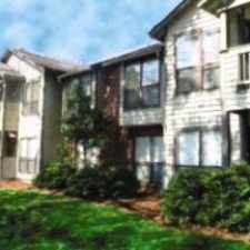
This location has a Walk Score of 81 out of 100. This location is Very Walkable so most errands can be accomplished on foot.
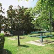
This location is in Chapel Hill. Nearby parks include Hargraves Park, Battle Park and Umstead Park.
Nearby schools include Estes Hills Elementary School, Memorial Hospital School and Phoenix Academy High School.
The closest grocery stores are Franklin Street Market, Lucky Star Market and Don Jose.
Nearby coffee shops include Krispy Kreme Doughnuts, Carolina Coffee Shop and Starbucks. Nearby restaurants include Mc Alister's Deli, Linda's Bar & Grill and TRU Deli & Wine Bar.
This location is near Hargraves Park, Battle Park and Umstead Park.
Explore how far you can travel by car, bus, bike and foot from this location.
This location has good transit which means many nearby public transportation options. Car sharing is available from Zipcar and RelayRides.
Bus lines:
NU PR Lot/UNC Hospitals
0.1 mi
FG Franklin St/University Mall/Colony Woods
0.1 mi
HS Chapel Hill High/Rogers Rd/Morris Grove Elementary/Downtown
0.1 mi
T Martin Luther King Jr Blvd/UNC Hospital
0.1 mi
Franklin St/Carrboro/Rock Haven Rd
0.1 mi
U Campus Shuttle/UNC/Downtown
0.1 mi
Franklin St/Finley Forest/Meadowmont
0.1 mi
F Colony Woods/Franklin Street/McDougle School
0.1 mi
CL Colony Lake/Sage Rd/UNC Hospitals
0.1 mi
D Culbreth Road/Franklin Street/Eastowne
0.1 mi
Car shares:
This location is in the city of Chapel Hill, NC. Chapel Hill has an average Walk Score of 34 and has 57,233 residents.
Learn More About Chapel Hill