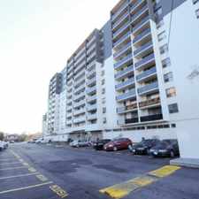
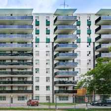
3461 McDowell Drive
Mississauga, Ontario, L5M 6R6
Commute to Downtown Mississauga
Some errands can be accomplished on foot.
A few nearby public transportation options.
About your score
3461 McDowell Drive has a Walk Score of 67 out of 100. This location is Somewhat Walkable so some errands can be accomplished on foot.
This location is in Mississauga. Nearby parks include Churchill Meadows Community Common and Marco Muzzo Memorial Woods and Park.
Explore how far you can travel by car, bus, bike and foot from 3461 McDowell Drive.
3461 McDowell Drive has some transit which means a few nearby public transportation options.
Bus lines:
341 Ninth Line-Thomas
0.1 km
363 Stephen Lewis-South Common
0.1 km
49 McDowell
0.1 km
321 Stephen Lewis-St.Joan of Arc
0.4 km
362 St.Joan of Arc-South Common
0.4 km
361 St. Joan of Arc-Meadowvale TC
0.4 km
364 Stephen Lewis-Meadowvale TC
0.4 km
39 Britannia
0.4 km
46 Tenth Line-Osprey
0.6 km
9 Rathburn-Thomas
0.6 km
This location is in the city of Mississauga, ON. Mississauga has an average Walk Score of 59 and has 713,443 residents.

Elite Training Centre | Mixed Martial arts & Fitness
BMO Bank of Montreal
Petsmart Lakeview


If you are using a screen reader or having trouble reading this website, please call Walk Score customer service at (253) 256-1634.
© 2024 Walk Score