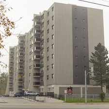
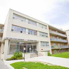
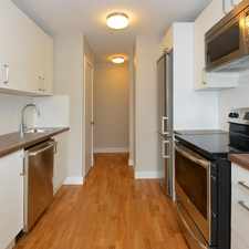
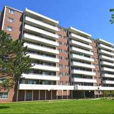
Beltline Trail
Some errands can be accomplished on foot.
Transit is convenient for most trips.
Some hills, excellent bike lanes.
About your score
Beltline Trail has a Walk Score of 56 out of 100. This location is Somewhat Walkable so some errands can be accomplished on foot.
Beltline Trail is a nine minute walk from the 512 ST CLAIR at the ST CLAIR STATION stop.
This location is in the Rosedale-Moore Park neighborhood in Toronto. Nearby parks include David A. Balfour Park, Loring-Wyle Parkette and Moorevale Park.
Explore how far you can travel by car, bus, bike and foot from Beltline Trail.
Beltline Trail has excellent transit which means transit is convenient for most trips. Car sharing is available from Zipcar.
Rail lines:
512 ST CLAIR
0.5 km
1 LINE 1 (YONGE-UNIVERSITY)
0.6 km
Bus lines:
141 DOWNTOWN/MT PLEASANT EXPRESS
0.2 km
88 SOUTH LEASIDE
0.2 km
74 MT PLEASANT
0.2 km
312 ST CLAIR-JUNCTION NIGHT BUS
0.5 km
Car shares:
Bike shares:
Beltline Trail is in the Rosedale-Moore Park neighborhood. Rosedale-Moore Park is the 34th most walkable neighborhood in Toronto with a neighborhood Walk Score of 84.


If you are using a screen reader or having trouble reading this website, please call Walk Score customer service at (253) 256-1634.
© 2024 Walk Score