Most errands require a car.
A few nearby public transportation options.
About your score
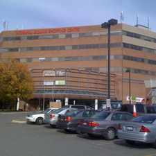
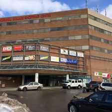
This location has a Walk Score of 34 out of 100. This location is a Car-Dependent neighborhood so most errands require a car.
This location is in Vaughan. The closest park is Canada's Wonderland.
Explore how far you can travel by car, bus, bike and foot from this location.
This location has some transit which means a few nearby public transportation options.
Bus lines:
462 MAPLE HIGH SS
0.1 km
464 ST JOAN OF ARC SS VIA AMERICA
0.1 km
26 MAPLE LOCAL
0.1 km
165 WESTON RD NORTH
0.6 km
21 VELLORE LOCAL
0.6 km
This location is in the city of Vaughan, ON. Vaughan has an average Walk Score of 49 and has 288,301 residents.
Learn More About Vaughan


If you are using a screen reader or having trouble reading this website, please call Walk Score customer service at (253) 256-1634.
© 2024 Walk Score