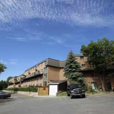
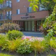
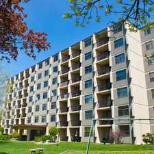
1957 Mancora Circle
Most errands require a car.
A few nearby public transportation options.
About your score
1957 Mancora Circle has a Walk Score of 33 out of 100. This location is a Car-Dependent neighborhood so most errands require a car.
This location is in Kingston. Nearby parks include Ashton Park, Rotary Park and Bayridge Park.
Explore how far you can travel by car, bus, bike and foot from 1957 Mancora Circle.
1957 Mancora Circle has some transit which means a few nearby public transportation options.
Bus lines:
15
0.2 km
501
0.4 km
502
0.5 km
This location is in the city of Kingston, ON. Kingston has an average Walk Score of 49 and has 123,363 residents.
Learn More About Kingston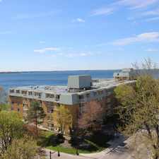


If you are using a screen reader or having trouble reading this website, please call Walk Score customer service at (253) 256-1634.
© 2024 Walk Score