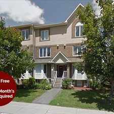
Gloucester-south Nepean, Ottawa, K2J 3V2
Commute to Downtown Ottawa
Most errands can be accomplished on foot.
Many nearby public transportation options.
.

This location has a Walk Score of 75 out of 100. This location is Very Walkable so most errands can be accomplished on foot.
This location is in the Gloucester-south Nepean neighborhood in Ottawa. Nearby parks include Lindenshade Park, Greenpointe Park and Park.
Explore how far you can travel by car, bus, bike and foot from this location.
This location has good transit which means many nearby public transportation options.
Bus lines:
99
0.1 km
175
0.1 km
406
0.1 km
176
0.1 km
80
0.3 km
275
0.5 km
171
0.5 km
173
0.5 km
305
0.5 km
170
0.5 km
This location is in the Gloucester-south Nepean neighborhood. Gloucester-south Nepean is the 18th most walkable neighborhood in Ottawa with a neighborhood Walk Score of 43.


If you are using a screen reader or having trouble reading this website, please call Walk Score customer service at (253) 256-1634.
© 2024 Walk Score