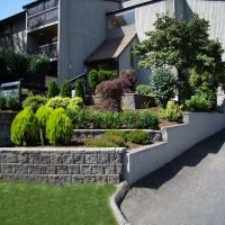
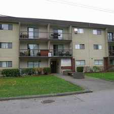
Abbotsford, British Columbia, V4X 0A9
Commute to Downtown Langley Township
Almost all errands require a car.
A few nearby public transportation options.
About your score
This location has a Walk Score of 22 out of 100. This location is a Car-Dependent neighborhood so almost all errands require a car.
This location is in Abbotsford. Nearby parks include Creekside Park, Aldergrove Park and Aldergrove Athletic Park (Rotary Field House).
Explore how far you can travel by car, bus, bike and foot from this location.
This location has some transit which means a few nearby public transportation options.
Bus lines:
21 Aldergrove Connector
0.3 km
503 ALDERGROVE/SURREY CENTRAL STN
0.7 km
This location is in the city of Abbotsford, BC. Abbotsford has an average Walk Score of 39 and has 133,497 residents.
Learn More About Abbotsford


If you are using a screen reader or having trouble reading this website, please call Walk Score customer service at (253) 256-1634.
© 2024 Walk Score