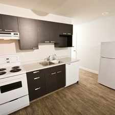
Coronation Park N., Regina, S4R 3E1
Commute to Downtown Regina
Most errands require a car.
A few nearby public transportation options.
Flat as a pancake, minimal bike lanes.
About your score
This location has a Walk Score of 48 out of 100. This location is a Car-Dependent neighborhood so most errands require a car.
This location is in the Coronation Park N. neighborhood in Regina. The closest park is Grassick Playground.
Explore how far you can travel by car, bus, bike and foot from this location.
This location has some transit which means a few nearby public transportation options.
Bus lines:
2 ARGYLE PARK - WOODLAND GROVE
0.2 km
5 UPLANDS - DOWNTOWN
0.5 km
6 WESTHILL - ROSS INDUSTRIAL
0.5 km
40 ALBERT S EXPRESS - ALBERT N EXPRESS
0.5 km
1 DIEPPE - BROAD NORTH
0.5 km
This location is in the Coronation Park N. neighborhood. Coronation Park N. is the 17th most walkable neighborhood in Regina with a neighborhood Walk Score of 56.


If you are using a screen reader or having trouble reading this website, please call Walk Score customer service at (253) 256-1634.
© 2024 Walk Score


