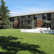
2008 46 Street Southeast
Forest Lawn, Calgary, T2B 1K6
Commute to Downtown Calgary
Most errands can be accomplished on foot.
A few nearby public transportation options.
Flat as a pancake, some bike lanes.
About your score
2008 46 Street Southeast has a Walk Score of 77 out of 100. This location is Very Walkable so most errands can be accomplished on foot.
This location is in the Forest Lawn neighborhood in Calgary. The closest park is Elliston Park.
Explore how far you can travel by car, bus, bike and foot from 2008 46 Street Southeast.
2008 46 Street Southeast has some transit which means a few nearby public transportation options.
Rail lines:
202 Blue Line - Saddletowne / 69 Street CTrain
2.3 km
Bus lines:
1 Bowness - Forest Lawn
0.1 km
305 BRT Bowness / 17 Ave SE
0.2 km
440 Chateau Estates / Franklin
0.2 km
126 Applewood Express
0.2 km
26 Dover
0.2 km
45 Abbeydale/Applewood
0.5 km
50 Forest Lawn
0.5 km
51 Penbrooke
0.5 km
2008 46 Street Southeast is in the Forest Lawn neighborhood. Forest Lawn is the 55th most walkable neighborhood in Calgary with a neighborhood Walk Score of 60.


If you are using a screen reader or having trouble reading this website, please call Walk Score customer service at (253) 256-1634.
© 2024 Walk Score