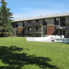
1540 29 Street Northwest
St. Andrews Heights, Calgary, T2N 4M1
Commute to Downtown Calgary
Some errands can be accomplished on foot.
Many nearby public transportation options.
Flat as a pancake, excellent bike lanes.
About your score
1540 29 Street Northwest has a Walk Score of 55 out of 100. This location is Somewhat Walkable so some errands can be accomplished on foot.
1540 29 Street Northwest is a 23 minute walk from the 201 Red Line - Somerset - Bridlewood / Tuscany CTrain at the SB Banff Trail CTrain Station stop.
This location is in the St. Andrews Heights neighborhood in Calgary. Nearby parks include Green Park, Hounsfield Heights Briar Hill Community Association and Playground.
Explore how far you can travel by car, bus, bike and foot from 1540 29 Street Northwest.
1540 29 Street Northwest has good transit which means many nearby public transportation options.
Rail lines:
201 Red Line - Somerset - Bridlewood / Tuscany CTrain
1.1 km
Bus lines:
40 Crowfoot/North Hill
0.0 km
104 Sunnyside - Foothills Medical Centre
0.0 km
9 Dalhousie- Foothills Medical Centre
0.0 km
20 Heritage/Northmount
0.0 km
91 Lions Park/Brentwood
0.2 km
19 16 Avenue North
0.5 km
73 Circle Route
0.5 km
72 Circle Route
0.5 km
1540 29 Street Northwest is in the St. Andrews Heights neighborhood. St. Andrews Heights is the 77th most walkable neighborhood in Calgary with a neighborhood Walk Score of 55.


If you are using a screen reader or having trouble reading this website, please call Walk Score customer service at (253) 256-1634.
© 2024 Walk Score