Some errands can be accomplished on foot.
A few nearby public transportation options.
About your score
This location has a Walk Score of 64 out of 100. This location is Somewhat Walkable so some errands can be accomplished on foot.
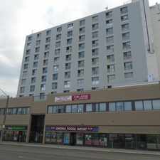
This location is in the Delwood neighborhood in Edmonton. Nearby parks include Delwood Park, York Round-a-bout Park and Kilkenny Park.
Explore how far you can travel by car, bus, bike and foot from this location.
This location has some transit which means a few nearby public transportation options.
Rail lines:
501 LRT Capital Line
2.2 km
Bus lines:
152 Northgate - Belvedere
0.1 km
800 St Cecilia/O'Leary - Matt Berry
0.2 km
167 Castle Downs-82 St/144 Av-95 St/132 Av
0.2 km
744 Mayliewan - O'Leary/St Cecilia
0.2 km
10 Clareview - Belvedere - LON - Coliseum
0.2 km
186 Northgate-Bel-Clareview-Fraser
0.3 km
153 Belvedere - Northgate
0.3 km
903 St Cecilia/O'Leary/Balwin - Clareview
0.3 km
849 St Cecilia/O'Leary - Clareview
0.3 km
844 Rosslyn - Beaumaris
0.3 km
This location is in the Delwood neighborhood. Delwood is the 72nd most walkable neighborhood in Edmonton with a neighborhood Walk Score of 59.


If you are using a screen reader or having trouble reading this website, please call Walk Score customer service at (253) 256-1634.
© 2024 Walk Score